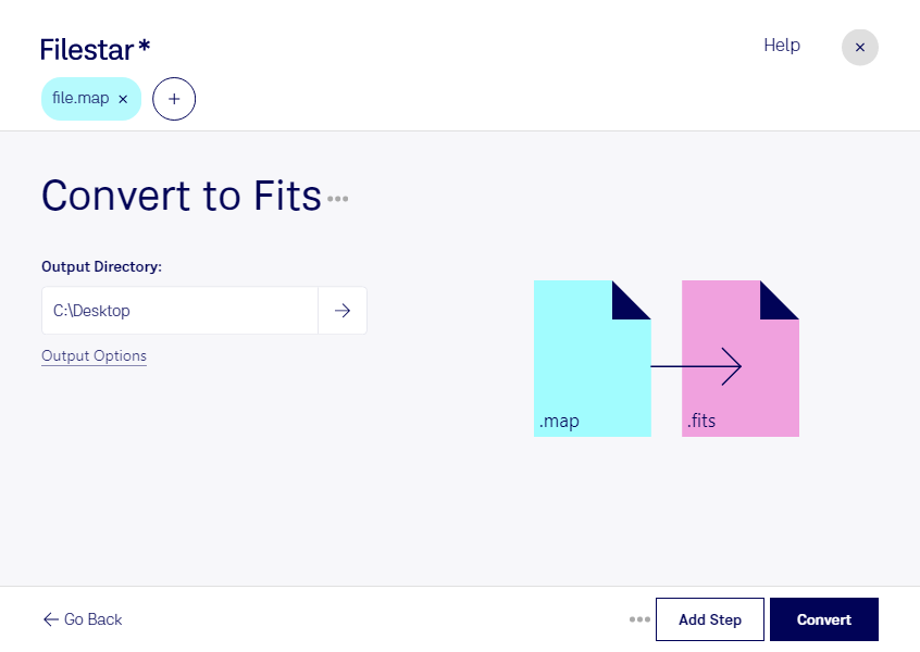
What is the difference between .map and .fits?
- Extension
- .map
- .fits
- Format
- Binary
- Category
- Other
- Raster Image
- Developer
- ColorgrafX
- IAU FITS Working Group
- Description
- This format is used as the color palette format for a variety of operating system image editors. It is used to store font templates in text and graphic editors. It allows you to change color intensity and transparency levels.
- The Flexible Image Transport System (FITS) file format is a digital file format used primarily in astronomy for storing, transmitting, and analyzing scientific images and data. Developed in the late 1970s, FITS was designed to provide a standard for the interchange of astronomical data, facilitating the sharing and analysis of data among astronomers and researchers worldwide.
- MIME Type
- application/vnd.xworlds.colormap
- image/fits
- Sample
- sample.fits
- Wikipedia
- .fits on Wikipedia