Filestar*
  • File Types 1206
  • Blog
  • Pricing
  • Use Cases
Download

Convert Mif Files

Filestar is the ultimate MapInfo Interchange Format File converter and can convert .mif files to 21 other formats.

  1. Download and install the latest version of Filestar.

  2. Right click on one or more Mif Files on your desktop and select Convert with Filestar.

  3. Type convert to in the search box and choose from the 21 available destination formats.

  4. Press Convert.

convert mif to kml

Popular Mif Conversions

See all 21 destination formats

Convert From Mif To

.jpeg JPEG Image
.jpg JPEG Image
.png Portable Network Graphic
.ico Windows Icon File
.gif Graphical Interchange Format File
.webp WebP Image
.bmp Bitmap Image
.tif Tagged Image
.tiff Tagged Image File Format
.psd Adobe Photoshop Document
.emf Enhanced Windows Metafile
.heic High Efficiency Image Format
.jxr JPEG XR Image
.wep WebP Image
.gdb GPS Database File
.geojson GeoJSON File
.gpx GPS Exchange File
.kml Keyhole Markup Language File
.osm OpenStreetMap Map File
.tab Tab-Separated Values

Convert To Mif From

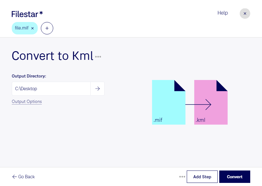
About the Mif file format

Name
MapInfo Interchange Format File
Extension
.mif
Format
Binary
Category
GIS
Developer
Pitney Bowes Software
Description
A MIF file is a map and database file created by the MapInfo software. It holds all data needed to draw map features.
MIME Type
application/x-mapinfo
Wikipedia
.mif on Wikipedia

The MapInfo Interchange Format (MIF) file stores boundary objects such as curves, areas, and points. These objects can have attributes like colors and styles associated with them. They are normally used as base maps for exporting the MapInfo program products. You will find all the data you need to draw map features including all projections. In most cases, the MIF file needs the MID file as it holds all data attributes of the map objects including the Primary and Secondary IDs. But it’s not a mandatory file accompanying all MIF files. A complete MIF dataset has header information, GIS data, coordinates, MID file, points, lines, and regions of the map. All the projections are remapped in such a way that they match when you’re reading or writing them. However, the projections that can’t be matched are converted to METERS ( even the coordinates). You can open this file with MapInfo software, ArcGIS, QGIS, or Tableau software.

Convert Mif files today

Get started within minutes

Download
Filestar*
Filestar.com
  • Download
  • About
  • Contact
  • Blog
  • FAQ
  • Help
  • Terms and Conditions
  • Privacy Policy
Support
hello@filestar.com
Facebook
Twitter
LinkedIn
YouTube
Instagram

Made in Sweden by Filestar AB • Copyright 2018-2025 • SE559193368301